

Professional Land Surveying Services
Gwinnett County, GA Area
Free Estimates
Flexible Scheduling
Quick Response Times
Request Lorem Epsom
Hero Request Form
Thank you for contacting us.
We will get back to you as soon as possible.
Please try again later.
Professional Land Surveying Services
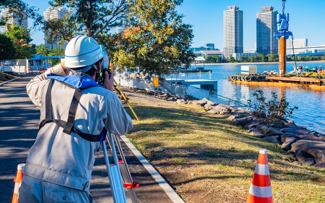
Gray & Co. Land Surveyors LLC delivers precise and reliable land surveying services across multiple counties in Georgia. With over 6 years of dedicated service since our founding in 2025, our family-owned business has established a reputation for accuracy and professionalism. What distinguishes our approach is the direct involvement of our licensed land surveyor in every project, ensuring meticulous attention to detail and consistent quality. We understand that property boundaries and accurate measurements form the foundation of your investment decisions, construction plans, and legal documentation, which is why we prioritize precision in every survey we conduct. Contact us today for your free estimate.

Text
Msgs may be autodialed. Consent to texts not required to purchase our svcs. Msg. and data rates may apply. To unsubscribe text STOP.
Why Choose Us
Flexible Scheduling
Free Estimates
Quick Response Times
High Quality Work
Locally Owned
Family Owned

ALTA Surveys

As-Built Surveys

Boundary Surveys

Condominium Sites

Construction & Planning Surveys

Flood Certifications

Landscape Surveyor

Plat Map

Property Line Survey

Route Surveys

Subdivision Surveys

Topographic Surveys

Tree Surveys

Here's what our satisfied clients are saying...
At Gray & Co. Land Surveyors LLC, we take pride in providing exceptional land surveying services to our clients. We would be grateful if you could share your thoughts about our surveying services with others. Your feedback helps us improve and helps others make informed decisions. Please take a moment to leave a review of Gray & Co. Land Surveyors LLC and let others know what you think.
Frequently Asked Questions
What information is required to start a residential survey?
To begin your project, our team needs the property address and any existing deeds or prior plats you might have available. These documents allow us to research the historical records of your land before we arrive on-site for physical measurements. Providing a clear description of why you need the survey, such as for a fence or a room addition, helps us tailor our work to your specific needs.
As one of the dedicated land survey companies in Suwanee, GA, we focus on delivering precise data that meets local municipal requirements while ensuring your residential boundaries are clearly defined.
How does a topographic survey differ from a boundary survey?
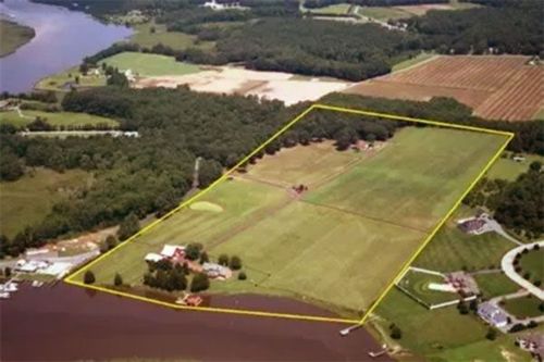
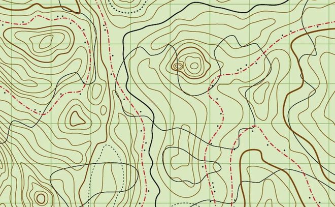
A boundary survey identifies the legal corners and property lines of your lot to resolve or prevent neighbor disputes. In contrast, a topographic survey maps the physical features and elevations of the land, including trees, utility lines, and man-made structures. This detailed mapping is essential for engineers and architects when planning drainage systems or new construction projects.
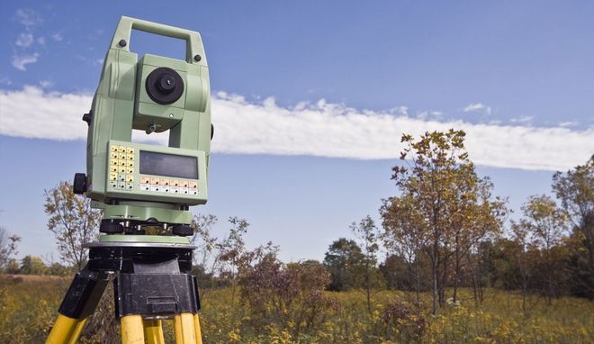
Unlike other land survey companies in Suwanee, GA, we utilize modern equipment to capture vertical data with high accuracy. This ensures that your site plan accounts for every slope and dip on the property before any heavy machinery arrives for grading.
Can you help identify hidden utility easements on my property?
Identifying easements is a critical step during the due diligence phase of any real estate transaction or development project. Our surveyors examine recorded plats and title reports to locate areas where utility companies or municipalities have legal access to your land.
Knowing where these zones lie prevents you from building permanent structures over underground pipes or cables. While many land survey companies in Suwanee, GA, offer basic staking, we provide a comprehensive review of these encumbrances.
What is the process for subdividing a large parcel of land?
Subdividing land involves creating smaller lots from a single larger tract, which requires a detailed plat that adheres to specific county zoning ordinances. We guide you through the technical requirements, from initial boundary determination to the final recording of the new plat at the courthouse.
This process ensures each new lot has proper road frontage and meets minimum size requirements. Among the various land survey companies in Suwanee, GA, we pride ourselves on navigating these complex regulatory steps efficiently. We produce the professional drawings necessary for planning commission approval, helping you maximize the value of your acreage through strategic partitioning.
Why is an elevation certificate necessary for flood insurance?
If your home is located near a body of water or in a low-lying area, your insurance provider may require a FEMA elevation certificate. This document compares the elevation of your building to the base flood elevation of the area to determine flood risk and insurance premiums.
Our field crews take precise measurements of the lowest floor and adjacent grades to complete this standardized form. While looking at land survey companies in Suwanee, GA, you should seek experts familiar with local flood plain maps.
How do you mark property lines for new fence installations?
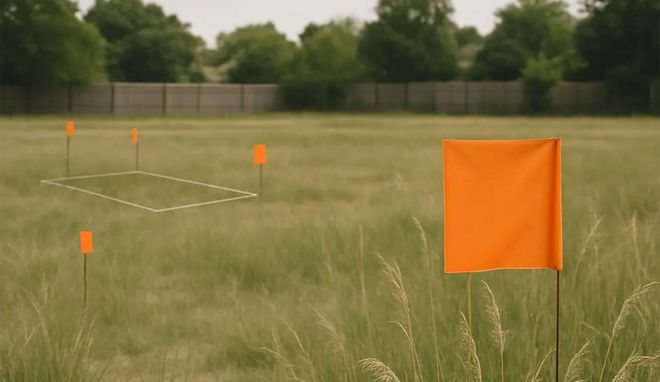
Before installing a fence, it is vital to have your property corners located and your lines staked to avoid encroaching on a neighbor's yard. We visit the site to find original iron pins or set new ones if the old markers are missing.
We then place temporary wood stakes along the line so your installers know exactly where the barrier should go. Many land survey companies in Suwanee, GA, emphasize speed, but we prioritize the accuracy needed to keep your neighborhood relationships positive.